The Landscape of Seneca Village
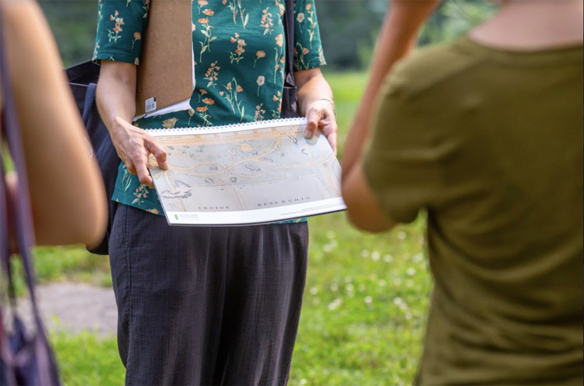
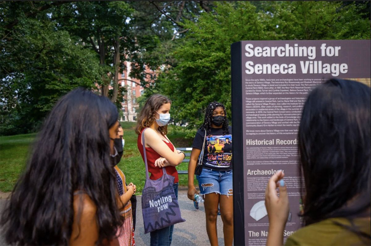
This tour focuses on the landscape of Seneca Village and was developed by the Central Park Conservancy as part of our work researching Seneca Village and uncovering its presence in Central Park today. Just as the archives of various libraries and cultural institutions and the artifacts discovered during excavations have allowed researchers to piece together the history of Seneca Village, this landscape is also a resource, an archive that can provide new insight into how residents lived and what they valued. This tour will encourage participants to read the landscape and to visualize how the residents of Seneca Village inhabited it and shows how this place provided resources for building community that had particular value for African-Americans seeking freedom in 19th century New York.
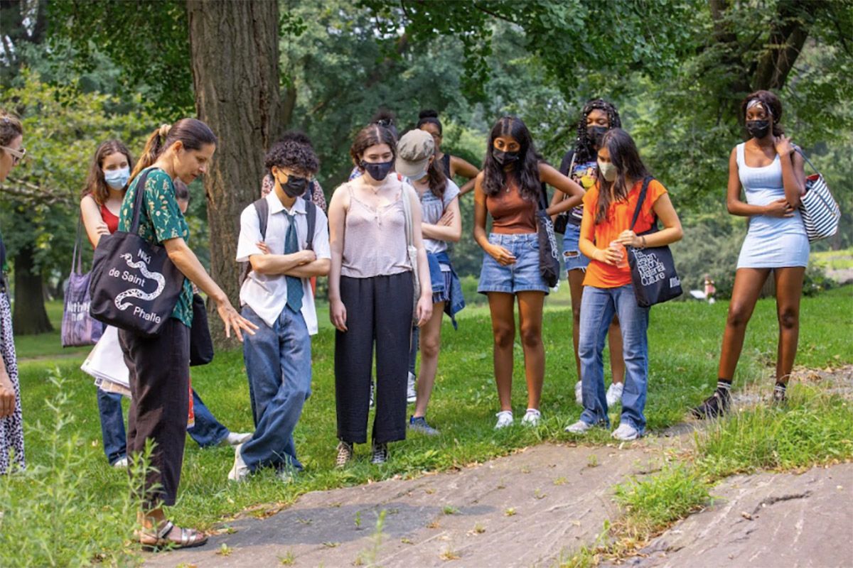
Tour for BGC Teen Thinkers, July 20, 2021.
Stop 1

Egbert Viele’s map documenting the existing landscape before Central Park, 1856. NYC Municipal Archives.
Stop 2

Detail of photograph from Olmsted and Vaux’s presentation of the Greeensward Plan, 1858. New York City Municipal Archives.

View showing exhisitng conditions of Central Park site, 1858. New York Historical Society.
Stop 3

Jervis McEntee, View of Central Park site 1858. New York Historical Society.
Stop 4

Detail of Egbert Viele’s map documenting existing landscape before Central Park (alternate version), showing Seneca Village, 1856. NYC Municipal Archives.
Stop 5

Detail of Egbert Viele’s map documenting existing landscape before Central Park, Seneca Village and area to the north, 1856. NYC Municipal Archives.
Stop 6

Detail of John Bornet, Souvenir of New York, 1851. New York Public Library.
Stop 8

Detail of Egbert Viele, Sanitary & Topographic Map of the City and Island of New York, 1865. Library of Congress.
Stop 9

View from Summit Rock looking west, 1856. Published in the First Annual Report of the Board of Commissioners of Central Park, 1857.